
by Matt Davies
February 17, 2024
In a new initiative to combat climate change, Google has partnered with the Environmental Defense Fund (EDF) to track and measure methane emissions from space. Methane, a potent greenhouse gas responsible for about 30% of global warming, is significantly emitted during the extraction of fossil fuels.
Google’s collaboration with EDF involves combining satellite data obtained by the EDF’s new satellite, MethaneSAT, with Google’s advanced artificial intelligence (AI) and infrastructure mapping to identify and trace methane emissions to their source.
This, Google explains, should help energy companies, researchers, and the public sector to take action to reduce emissions from oil and gas infrastructure “faster and more effectively.”
“This is one of the most powerful, short-term actions we can take to reduce warming,” Google writes.
Tracking methane emissions with “unprecedented precision”
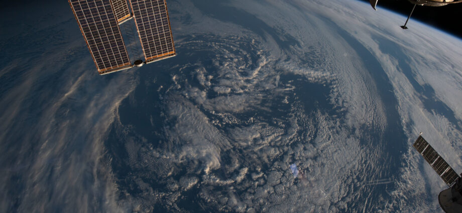
MethaneSAT, set to launch in early March on a SpaceX Falcon 9 rocket, boasts unprecedented precision” in mapping, measuring, and tracking methane emissions. Orbiting the Earth 15 times a day at an altitude of over 350 miles, the satellite will focus on the top oil and gas regions globally, providing regular and comprehensive analyses of methane levels.
EDF’s sophisticated algorithms, powered by Google Cloud in collaboration with scientists from Harvard University and the Smithsonian Astrophysical Observatory, will enable the calculation and tracking of methane emissions over time.
Mapping global oil and gas infrastructure
Beyond methane detection, Google and EDF plan to create a global map of oil and gas infrastructure. The goal, Google says, is “understanding which components contribute most to emissions.”
“Just like how we use AI to detect sidewalks, street signs and road names in satellite imagery to display helpful information in Google Maps, we’ll also use AI to identify oil and gas infrastructure, like oil storage containers, in our imagery,” Google explains. This will then be combined with the EDF’s existing information to locate exactly where the emissions come from.
The integration of MethaneSAT data with this infrastructure map will offer a detailed understanding of the sources contributing most to methane leaks, facilitating anticipatory measures and targeted mitigation efforts.
Empowering Researchers and Organizations
The valuable insights gained from this collaboration will be made available to researchers and organizations later this year through MethaneSAT’s website and Google Earth Engine. With over 100,000 monthly active users, Google Earth Engine provides a planetary-scale environmental monitoring platform.
The MethaneSAT datasets, accessible on Earth Engine, will enable users to detect trends and correlations between human activities and environmental impact. By combining methane data with other datasets, users can track emissions in specific areas over time, enhancing our ability to address climate change at a global scale.
In the face of a warming planet, this innovative project signals a significant step forward in the fight against climate change, offering actionable data to reduce methane emissions and mitigate their impact on our environment.
Subscribe to our newsletter.
This article was originally published on IMPAKTER. Read the original article.
